We understand that our clients encounter strict regulations regarding their pipeline integrity management programs. Regulations, along with increased public scrutiny, can put significant pressure on operations to make the right decisions to ensure safety and reliability.
Our diverse team of Land Surveyors, GIS Analysts, and field survey crews collaborate and innovate to provide comprehensive Geomatics solutions to Pipeline Integrity Projects.
Depth of Cover Surveys/Water Course Crossing Surveys
Class Location Surveys (Desktop & Field level) per Z662
Slope Stability and Deformation Surveys
Line Locating and Ground Disturbance
HDD Route Planning and As-Built Surveys
Dig Site/Above Ground Marker Surveys
Pipeline Re-Alignment Planning and Surveying
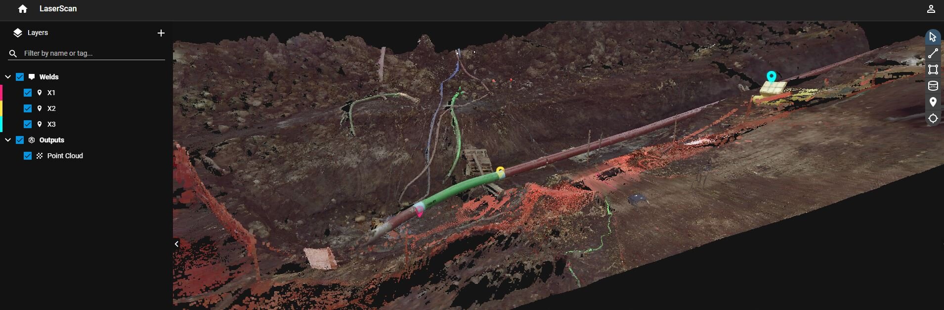
Pipeline Construction As-Built & Weld Mapping
Data Correlation of In-Line Tool with Remote Sensing or As-Built Survey Data
Web GIS- Real Time Updates of Project Status