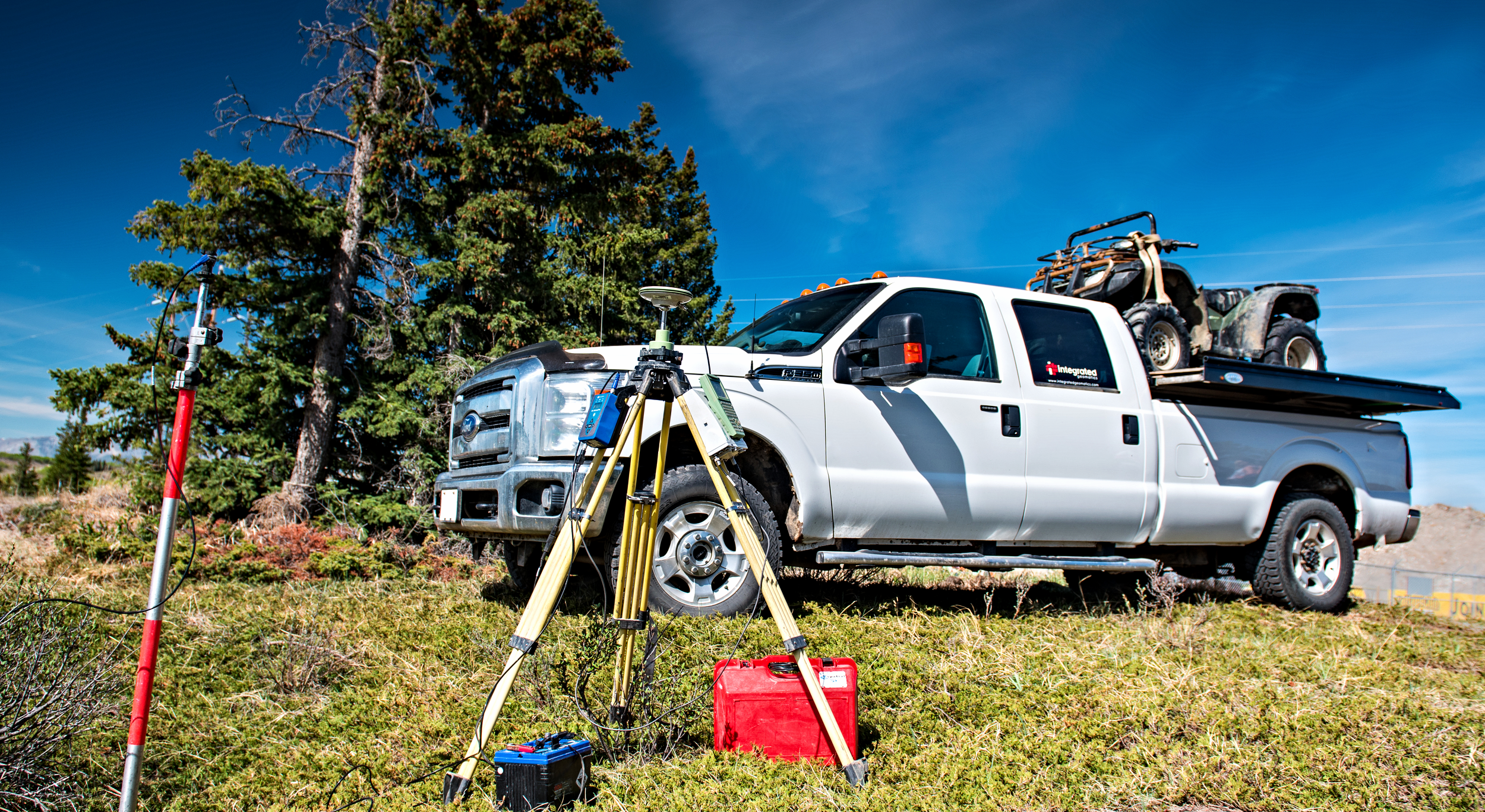
Integrated Geomatics is a highly experienced team of Land Surveyors, Geomatics Specialists, and Environmental Professionals servicing Western Canada since its incorporation in 2009. With a diverse range of technical skills and field expertise, we seek to provide the best quality and cost effective services for our clients.
We are committed to providing clients with the best comprehensive and collaborative Geomatics and Environmental solutions tailored to their project specifications. We foster long lasting and strong relationship with our clients by providing the best possible service and strive to go above and beyond to meet the client’s needs.
Integrated Geomatics was founded on the principle of “integrating” recent technological advancements in remote sensing and Geomatics with a comprehensive system of planning. Our expertise in LiDAR analysis is unparalleled in the Oil and Gas industry. Our team consists of highly experienced and knowledgeable individuals in a variety of disciplines. We believe in investing in our employees to continuously grow their expertise to provide our clients with the best service.